
English| EUR
Suggested for you
More currencies
Choose a language
The Atlanta trolley tour follows a fixed loop through the city's core historic and cultural districts, departing from 275 Baker St NW. Understanding the route layout, stop sequence, and coverage area helps you plan which landmarks to explore and how the 90-minute narrated circuit connects Atlanta's neighborhoods.
Quick answer
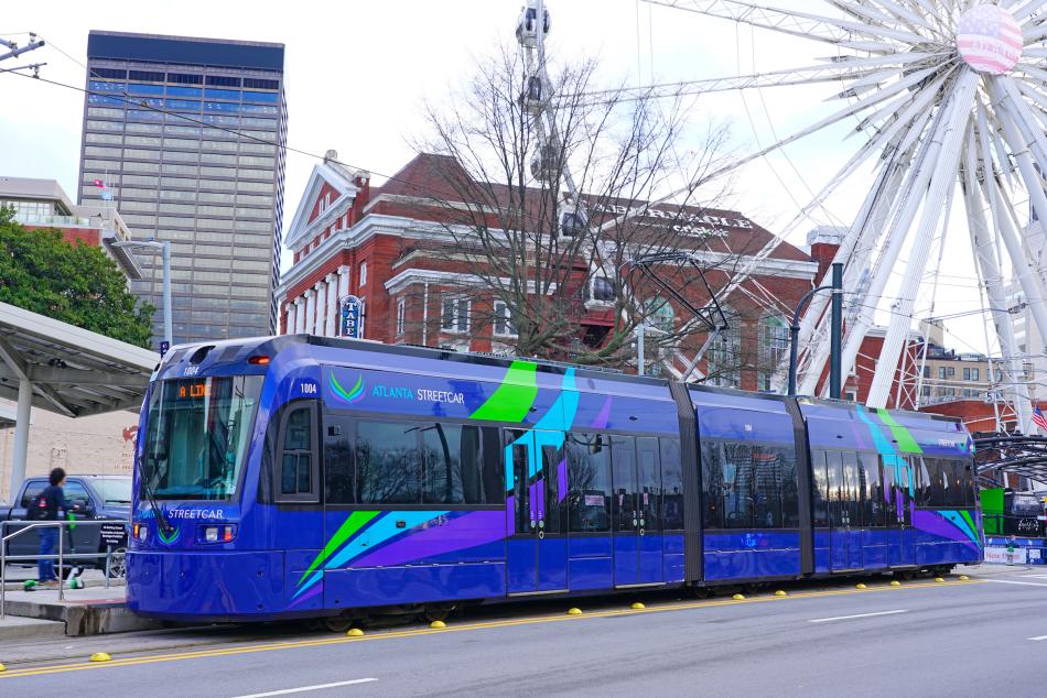
The atlanta trolley tour map covers a continuous loop through downtown Atlanta with stops at major landmarks including Centennial Olympic Park, the Martin Luther King Jr. National Historical Park district, Sweet Auburn, and the State Capitol area. The route operates as a narrated 90-minute circuit departing from 275 Baker St NW, with service running daily from 09:30 to 17:00. The trolley passes through five distinct neighborhoods, allowing riders to see the relationship between Atlanta's commercial center, civil rights heritage sites, and entertainment districts in a single journey.
The Peachtree Trolley route was designed to mirror the historic streetcar lines that once connected Atlanta's neighborhoods before automobile infrastructure reshaped the city in the mid-20th century. Today's atlanta trolley tour map reflects that heritage, tracing a path through districts where the city's commercial, political, and cultural identity took shape between the 1880s and 1960s. The route begins in the Centennial Olympic Park district, where the 1996 Summer Games left a permanent footprint on Atlanta's urban landscape. From there, the trolley moves east into Sweet Auburn, the neighborhood that served as the center of Black commerce and civil rights organizing for nearly a century. The narrated tour identifies the specific blocks where Martin Luther King Jr. grew up, preached, and organized, giving riders a spatial understanding of how close these landmarks sit to one another. The trolley then loops south past the Georgia State Capitol, a gold-domed structure visible from multiple points along the route, before turning west through the Five Points intersection and back toward the starting point. Riders who study the atlanta trolley tour map guide before boarding often notice that the route prioritizes density over distance. Rather than covering the sprawling metro area, the 90-minute loop stays within a compact zone roughly two miles across, allowing the narration to develop each district's history without rushing. The trolley passes the Fox Theatre, a 1920s movie palace with Moorish Revival architecture, and edges Woodruff Park, a downtown green space that has served as a public gathering point since the 19th century. The route also skirts the CNN Center and State Farm Arena, showing where Atlanta's modern media and sports economy intersects with its older built environment. The map's value lies in showing what the trolley does not cover as much as what it does. Neighborhoods like Buckhead, Virginia-Highland, and the Westside BeltLine corridor sit outside the route, as do the Atlanta Botanical Garden and Piedmont Park. The trolley focuses on the historically dense core, where streets were laid out before the car era and buildings from multiple centuries stand within walking distance of one another.
“The route prioritizes density over distance, staying within a compact two-mile zone that allows the narration to develop each district's history without rushing.”
The 90-minute narrated trolley tour follows a fixed loop route connecting Atlanta's major landmarks, making it straightforward to plan your visit. The map provided on board helps you track each stop as the guide explains the city's history and architecture.
Begin your tour at the departure point near Centennial Olympic Park. The trolley departs promptly, so arrive 10 minutes early to check in.
The route passes the Georgia State Capitol and downtown business district. Listen for narration about the city's role in the Civil Rights Movement and Reconstruction era.
The trolley traces Auburn Avenue, highlighting the Martin Luther King Jr. National Historical Park and the historic African American business corridor. This segment covers the densest historical content of the tour.
The route continues through Midtown's cultural corridor, passing the Fox Theatre, High Museum area, and the edge of Piedmont Park. The guide points out architectural landmarks and theater history.
The northern section covers affluent Buckhead neighborhoods and the Governor's Mansion area before looping back. The final narration recaps route highlights and orientation tips for independent exploration.
The Atlanta trolley tours operate on a consistent daily schedule throughout the week. This allows visitors to plan their city exploration with ease.
The Atlanta Trolley Tour departs from 275 Baker St NW, located in the downtown district near major tourist attractions. The area is easily accessible via public transit or personal vehicle.
MARTA Red or Gold Line to Peachtree Center Station
MARTA Bus Route 32 to Baker St & Centennial Olympic Park Dr
I-75/85 to Exit 249C
To ensure a smooth start and avoid midday heat and afternoon traffic, the best arrival window is 09:30–15:30.
Everything you need to know about atlanta trolley tour map
Digital and physical versions of the atlanta trolley tour map are typically provided by the operator during your check-in process. You can also view general route information on the official website.
Yes, the route is designed to highlight significant Georgia landmarks and historical sites throughout the downtown area. It provides a comprehensive overview of the city's heritage from the comfort of the vehicle.
The narrated excursion lasts approximately 90 minutes. This duration allows for a relaxed pace while covering the main points of interest featured on the atlanta trolley tour map.
The route is straightforward, as it is a guided experience rather than a self-guided transit system. The guide ensures passengers remain oriented throughout the journey.
No, the map is for navigation and informational purposes only. Please use the official booking portal to secure your reservation prior to your arrival.
The recommended arrival window is 09:30–15:30. Following this schedule helps visitors avoid the peak midday heat and the heaviest afternoon traffic patterns.
There are no specific age restrictions for the tour. It is designed as a family-friendly sightseeing experience suitable for a wide range of ages.
The departure point is located at 275 Baker St NW, Atlanta, GA 30313. Guests should plan their transit or parking arrangements based on this central downtown address.